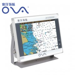
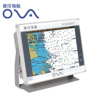
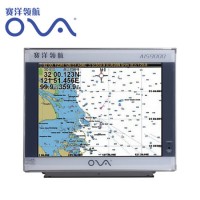
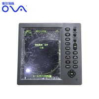
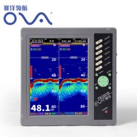
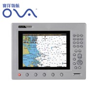
Product Name: 12 Inch Marine GPS AIS Multifunction Navigation System Model NO.: AIS9000-L120 Certification: RoHS, ISO/TS16949, ISO14001, CE Use: Automotive Product Description Product DescriptionØ Powerful and Advanced Technology GPS, Chart, Tide, Compass, etc. Built-in AIS Collision Avoidance Navigation System Can connect with ultrasonic echo sounder, fish finder and work with net sounder Quick flash start technologyØ Flexible and Convenient Operation T9 digital keyboard, supporting Chinese Input With Garmin Operating StyleØ Certified with authoritative quality system Comply to ISO9001:2008 International Quality System certified by CCS According to AIS Class B shipborne Equipment Standard (IEC62287-1) Comply to NMEA0183 Standard with RS422/RS232 InterfaceØ External and Quick Update Rapidly update by external SD card that is fully supported the system, chart, and the update of the extended function.Ø Industrial and High Quality Material Professional true-color TFT LCD, suitable in the sun and at night Independent research and development of GPS receiver board, accurate positioning, stable navigation speed and courseØ Exquisite Appearance, Convenient and Practical Professional design, supporting the embedded installation, Exquisite, fashion and firm.PerformanceParameterModelAIS9000-08Display Size8"Resolution800x600ExternalDimension303mmx218mmx99mmDisplay ModeTFT LCD COLOR DisplayOperating ModeAdjustable backlight button, shortcut button, T9 keyboardLanguageSimple Chinese, English, Traditional ChineseVoltageRange11~35V DCPowerHigh performance, full isolated PWM control of power supplyPower dissipation≤15WSafe Distance of Compass≥1.5 mAIS FunctionTX Channel1 chRX Channel2 chReceive Frequency156.025~162.025MHzDefault ChannelCH2087,CH2088Bandwidth25KHzModulation ModeGMSKReceiveSensitivitySuperior to-107dBmRF Out Power2 WTX Channel87B/161.975MHzRX Channel88B/162.025MHzGPS ReceiverAdopt high speed stable technologyGPS Positioning accuracy:≤15m, 95% accuracypositioning time:cold start 45s, warm start15sNavigation performanceWaypoint & Mark:6000 pointsRoute:200 routes, each route contains 99 waypointsTrack:≥200 routesInclude the tide and compassIntelligent collision avoidanceInterface1.GPS output:RS-422, NMEA0183, 4800bps2.AIS input & output:RS-422, NMEA0183, 38400bps3.Sonar input & output:RS-422, NMEA0183, 115200bps4.GPS Antenna Interface:BNC base, impedence 50Ω5.VHF Antenna Interface:UHF base, impedence 50Ω6.Powerinterface:24V DCEnvironmentTemperature-15ºC~50ºCProtection LevelIP44Standard Annex1. GPS Antenna2. Power Line3. Safety Fuse, Locking Screws4. Manual, Certificate, Warranty CardQ:Where is your company located? How can I visit it?A:Our company is located in Nantong, which is about two hours from Shanghai and half an hour by car from Nantong Airport.Q:How can I get the sample?A: Samples could be sent within 3-5 days if there is in stock. Generally, sample is not free.Q:What's the lead time?A:If we have stocks of the item you need, we can send goods to you within 3-5 working days after 100% payment into our bank account. If we don't have enough stocks, different products will take different days. Generally, it need around 30-35 days.Q:How does your factory control product quality?A:ISO9001 Certificated, independent quality control team with inspectors in our factory.Q:What is your Minimum Order Quantity?A:We sell you at least 10pcs for each item in normal order, but we also accept the sample order.Q:What's about shipping?A:Small order can be shipped by air and large quantities can be shipped by sea, no matter your assigned agent or ours, Our best advantage is that we're located in Nantong that is close to Shanghai and Nantong Port.Q:What's your agency/distributor policy?A:We have too many different policies according to target markets, so please send email for detailed discussion or talk face to face.
